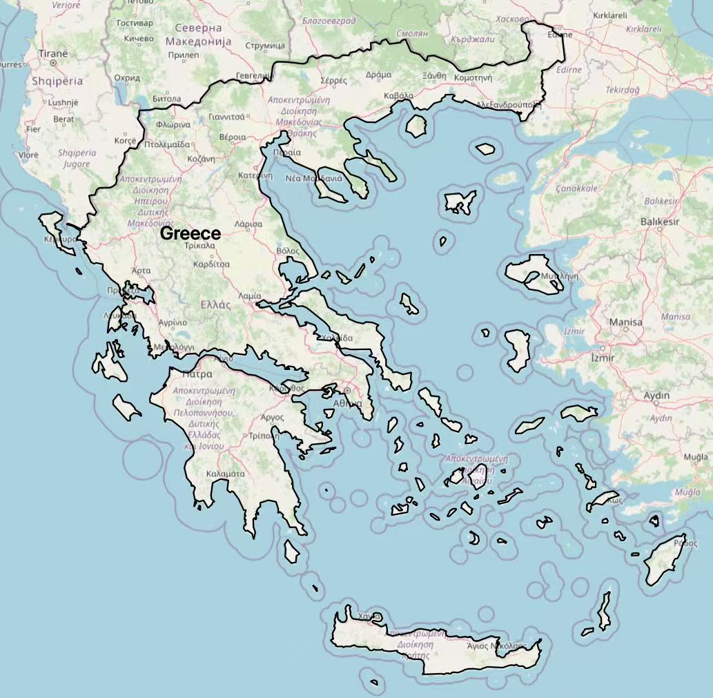
ABOUT THIS PROJECT
The main objective of this project is to analyze air quality conditions in Greece and present the analysis results through a WebGIS platform. We utilized multiple datasets including air quality monitoring data, land cover, population, and administrative boundaries to conduct a comprehensive assessment of air pollution across different regions of Greece, and analyzed the relationship between pollutant distribution and population exposure.

METHODOLOGY HIGHLIGHTS
Our analysis follows a structured workflow including data collection, processing, spatial analysis, exposure assessment, and WebGIS implementation:
- Data Collection: Monthly reanalysis data (2013–2022) for NO₂, PM₂.5, PM₁₀, land cover data, population counts, and administrative boundaries.
- Spatial Analysis: Land cover reclassification, zonal statistics, pollution trend analysis, and population exposure classification.
- Risk Assessment: Bivariate mapping combining pollution levels and population classes to evaluate exposure risks.

KEY FINDINGS
Air pollution issues in Greece are particularly significant in urban areas, especially in Athens. The topographical features of the Athens basin make it difficult for pollutants to disperse, and combined with dense urban traffic and industrial activities, the region frequently faces air quality deterioration. Our bivariate analysis shows that densely populated areas with high pollution levels represent the highest risk zones requiring targeted interventions.